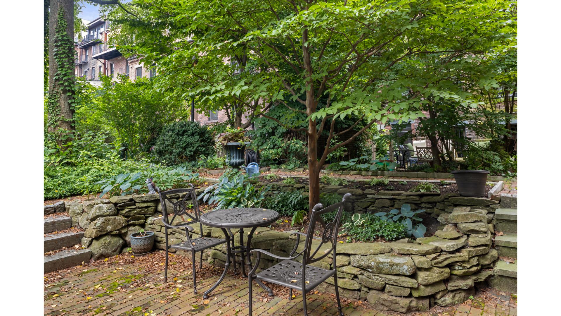
8 Best Hikes Near Boston, From Blue Hills to City Trails
The best hikes near Boston start with Great Blue Hill in Blue Hills Reservation, climbed on the Red Dot Trail from the Blue Hills Ski Area and Trailside Museum parking area, then continue through city routes at Jamaica Pond, the Arnold Arboretum, and Franklin Park. South End Hospitality hosts guests in Boston neighborhoods from Jamaica Plain to Back Bay, so every other pick below is a walk you can plan from a city base.
Key Takeaways
- Great Blue Hill via the Red Dot Trail from the south lot is the main Blue Hills recommendation, with Eliot Tower and Blue Hill Observatory at the summit.
- Use the official Blue Hills map for trail length and difficulty; published Skyline mileage ranges from 5.7 to 15.1 miles because writers describe different routes.
- The Red Dot hike, the shorter Skyline loops, and the full Skyline traverse are three different outings, and the 5.7-mile route is not the full trail.
- Every other pick is in Boston or just across the Charles River in Cambridge: Jamaica Pond, Arnold Arboretum, Franklin Park, Back Bay Fens, the Charles River Esplanade, and Mount Auburn Cemetery.
- Jamaica Pond, the Arnold Arboretum, and Franklin Park are linked by the Emerald Necklace, so one car-free day can combine two of them.
- Check official park pages for surface, grade, and accessibility details before you go, and plan for mud, ice, and rock in 2026 just as in any other year.
Hiking near Boston splits into two kinds of outings: a half-day on a rocky ridge, and a long walk through a park in the Olmsted-designed Emerald Necklace. This list keeps both and keeps them close. Every pick sits inside Boston or just across the line in Cambridge, except Blue Hills Reservation, which lies roughly 10 miles south of the city. Distant day trips are left out on purpose.
In 2026 the practical questions are the same ones hikers have always had: where to park, which trail to follow, and how hard the route is. Because South End Hospitality works in Jamaica Plain, the South End, Back Bay, and Fenway, the city routes below are written as walks that start from a Boston neighborhood base. The Blue Hills section includes the parking detail you need if you drive.
1. Great Blue Hill via the Red Dot Trail
Great Blue Hill is the tallest peak in Blue Hills Reservation, and Mass.gov says its summit offers a view of the Boston skyline. That makes the Red Dot Trail from the south lot the main Blue Hills recommendation here: one named trail, one summit, one clear payoff.
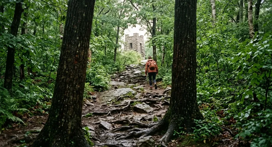
Park at the Blue Hills Ski Area and Trailside Museum parking area, start from the south lot, and follow the red dot blazes to the top. The summit holds Eliot Tower and the Blue Hill Observatory, the weather station perched on the peak. Plan your photo stop around the tower, since the skyline view is why most people climb.
For trail length and difficulty, read the official Blue Hills trail map from the Massachusetts Department of Conservation and Recreation instead of a third-party blog. Published numbers shift with the trailhead and route. Check the map’s difficulty rating before you bring children, and arrive early on fall weekends, when popular trailheads tend to fill.
Expect the summit to feel windier and colder than the parking lot. Confirm that the tower and observatory are open to visitors before you go, since access can change.
2. Blue Hills Skyline: Shorter Loops vs. the Full Traverse
The Skyline Trail is the ridge route that links several summits across Blue Hills Reservation, and its published mileage is a mess. One guide lists a 5.7-mile Skyline route over Tucker and Buck hills and rates it Moderate. Tripadvisor calls the Skyline Trail 9 miles, Backpacker describes an 11.6-mile out-and-back, and Red Bull lists a 15.1-mile out-and-back rated Hard, with major elevation gain and rock scrambles.
Those numbers describe different outings, so separate them before you pick one:
- The Red Dot hike (item 1): a direct climb to Great Blue Hill from the south lot.
- Shorter Skyline loops: Mass.gov describes Skyline Loop as a climb over several summits, including Great Blue Hill, and Buck Hill Loop as an intense climb to a rocky summit with a panoramic view of the reservation. The 5.7-mile Tucker and Buck hills route belongs here, not in the full-trail category.
- The full Skyline traverse: the all-day ridge route for experienced hikers with water, sturdy boots, and a mapped plan.
Start with a loop, and graduate to the traverse only after you have walked part of the ridge. Friends of the Blue Hills publishes suggested routes, and the official map settles any mileage argument.
3. Arnold Arboretum (Jamaica Plain)
The Arnold Arboretum is Harvard’s public tree collection in Jamaica Plain, and it holds the best short climbs inside the city. Paths wind over Bussey Hill and Peters Hill, and on a clear day the open top of Peters Hill looks back toward the downtown skyline.
Go early on a weekday for quiet paths. The Arboretum has a gate near Forest Hills station on the Orange Line, so you can skip the car; confirm the route in the MBTA trip planner and check posted hours on the official site. The Arboretum also publishes visitor and accessibility information, so check it for current route guidance.
This is the pick for first-time visitors who want hills and mature trees without a drive to Blue Hills.
4. Jamaica Pond (Jamaica Plain)
Jamaica Pond is a glacial pond with a loop path of roughly a mile and a half, according to commonly published figures; confirm the current figure on the City of Boston park page. The loop is flat and shaded in places, and it suits strollers, toddlers, and anyone who wants a lap before brunch.
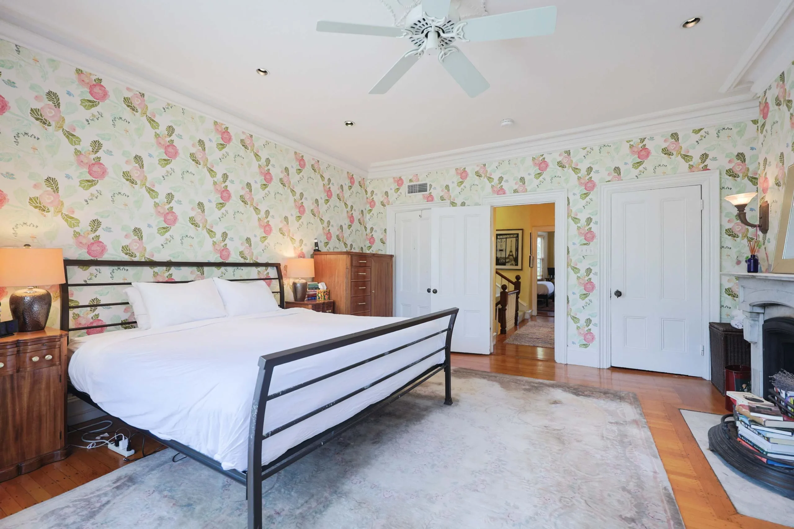
Pair the pond with the Arboretum for a full Jamaica Plain day: pond loop in the morning, Peters Hill after lunch. South End Hospitality’s Walk to T, Jamaica Pond, Dining & Whole Foods is a three-bedroom apartment that sleeps up to 6, with a full kitchen and free on-street parking as listed. It sits near restaurants, Whole Foods, and public transit, which makes this neighborhood easy to run without a car.
5. Franklin Park
Franklin Park is the largest park in Boston and the largest piece of the Emerald Necklace. Its wooded Wilderness area and the rise of Schoolmaster Hill give it more varied terrain than most city parks, and the paths are quiet compared with the Esplanade.
Keep an eye out for peacocks near Franklin Park Zoo while walking the surrounding park paths. You may spot one outside the zoo fence, which adds a fun surprise to the walk.
The park is big and has several entrances, so choose your entrance from the official map and decide your loop before you start. Zoo admission is separate from walking the park paths, which makes this a good family pick: do the trail first, then decide about the zoo.
6. Back Bay Fens
The Back Bay Fens is a reed-edged park along the Muddy River, and it is the easiest green escape from the Back Bay and Fenway neighborhoods. It is a walk, not a hike, but its paths link into the wider Emerald Necklace, which is why it earns a place here.
Stay at Charlesgate Suites: Premier Oversized One Bedroom or Boston Brownstone Stay, Includes Parking and the Fens becomes your morning loop. Charlesgate Suites uses self check-in, and Boston Brownstone Stay sleeps up to 11 with one parking spot, which suits a larger hiking group.
On Red Sox home game days, expect crowds on the streets around the park. Walk early and let the evening belong to Fenway.
7. Charles River Esplanade
The Charles River Esplanade is the riverside park along the Charles in Back Bay, and it offers the most open skyline views of any easy walk on this list. Footbridges cross Storrow Drive, and the path follows the water with Cambridge visible across the river.
Walk it at sunrise for the best light and the fewest people. The paths are wide, which works well with strollers, but check the Esplanade Association’s official guidance for current surface and accessibility information before you rely on a specific section.
8. Mount Auburn Cemetery and Washington Tower
Mount Auburn Cemetery sits on the Cambridge-Watertown border, and Viator notes that its paths lead to Washington Tower, which overlooks downtown Boston. The grounds are a cemetery and an arboretum at once, with rolling hills and mature trees, and they are well known among birders.
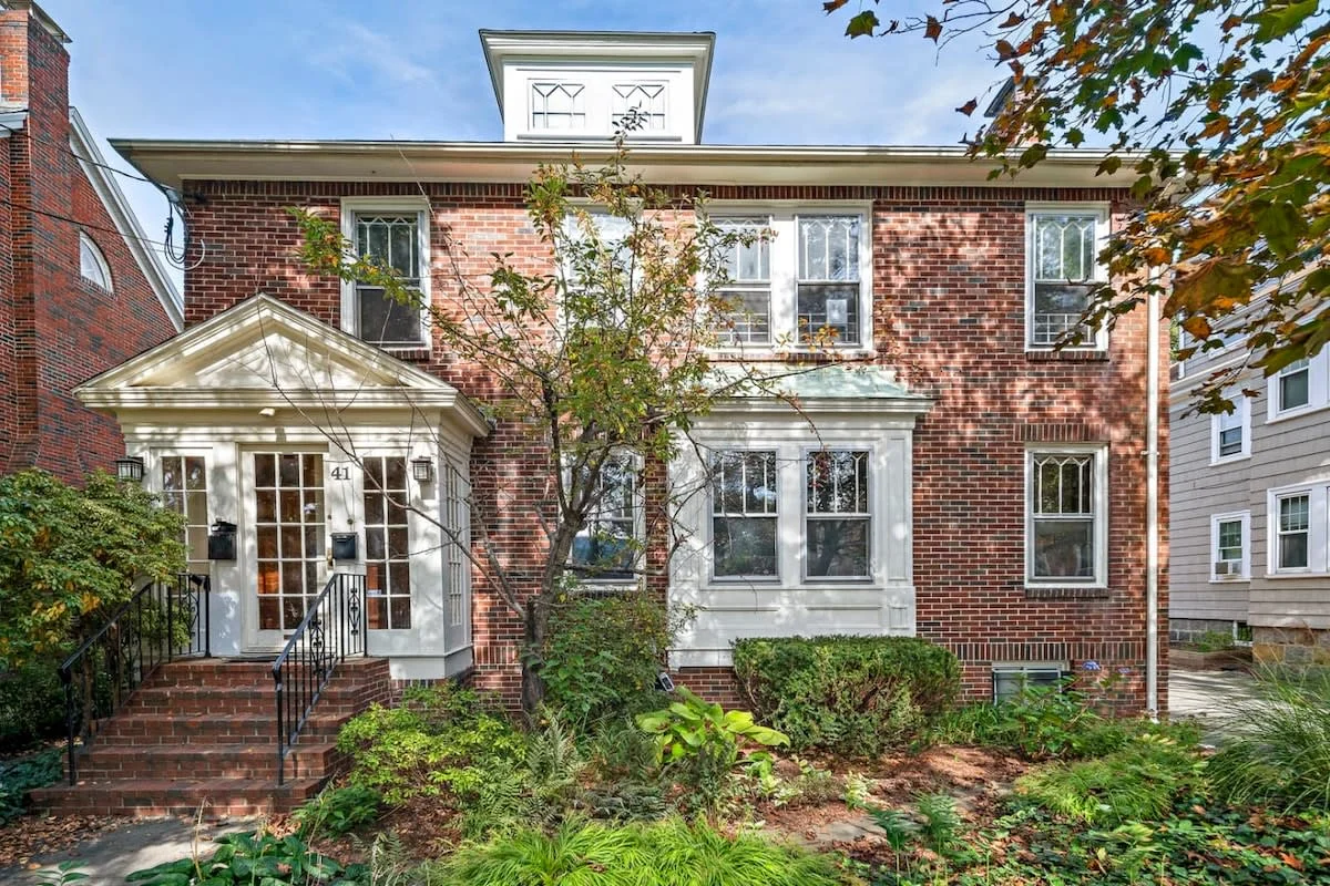
Visit with quiet manners, since this is an active cemetery. Check the official site for hours and tower access before you go. If you want a Cambridge base, South End Hospitality also offers Inviting 3BR in Cambridge, Walk to T & Central Sq, a three-bedroom apartment that sleeps up to 7.
Where Is the Best Place to Walk Around in Boston?
The Emerald Necklace is a chain of Olmsted-designed parks that links the Back Bay Fens, the Riverway and Olmsted Park, Jamaica Pond, the Arnold Arboretum, and Franklin Park. Viator puts the total at 1,100 acres of green space within Boston, and the Emerald Necklace Conservancy publishes maps of the chain.
A car-free day can cover one or two segments, and that is the right ambition. Walk the Fens and Riverway together, or pair Jamaica Pond with the Arboretum. Trying to string every park into one outing turns a good walk into a forced march. For a first visit, start at Jamaica Pond and finish at Peters Hill.

Which of the Best Hikes Near Boston Fits Your Day?
The table below compares all eight picks by setting, best use, and the one thing to check first.
| Pick | Setting | Best for | Check first |
|---|---|---|---|
| Great Blue Hill (Red Dot Trail) | Blue Hills Reservation, south of Boston | Summit view of the skyline | Official map for length and difficulty |
| Skyline loops and traverse | Blue Hills ridge | Experienced hikers wanting a longer day | Which route your source describes |
| Arnold Arboretum | Jamaica Plain | Short climbs and tree color | Posted hours, accessibility page |
| Jamaica Pond | Jamaica Plain | Families and easy loops | City of Boston park page |
| Franklin Park | Boston | Wooded paths and zoo-adjacent walks | Entrance choice on the official map |
| Back Bay Fens | Back Bay and Fenway | Quick morning walks | Red Sox game-day crowds |
| Charles River Esplanade | Back Bay riverfront | Sunrise skyline views | Esplanade Association guidance |
| Mount Auburn Cemetery | Cambridge-Watertown border | Birding and a tower view | Hours and tower access |
What Conditions Should You Plan For on Boston-Area Trails?
Conditions around Boston shift with the calendar, and the rocky Blue Hills routes feel those shifts more than the city park loops do.
When is peak fall foliage?
Peak color in eastern Massachusetts usually arrives in October, with timing that moves from year to year. Check current foliage reports before choosing your weekend in 2026. A clear October day suits Great Blue Hill, while the Arboretum’s tree collection makes it a dependable foliage stop in the city.
Mud, ice, and rock
Blue Hills rock gets slick when wet or iced, so carry traction in winter and wear boots with real tread. City loops are usually easier underfoot in cold months, though shaded sections can hold ice.
Route-finding and accessibility
Carry or download the official map for any Blue Hills trip and confirm each junction, especially on Skyline routes. For surface, grade, and accessibility details, use the official guidance from Mass.gov for Blue Hills, the City of Boston parks pages, and the Arnold Arboretum’s visitor information.
How Do You Plan a Boston Hiking Day?
- Decide the outing type: a summit (Great Blue Hill), a longer ridge day (Skyline), or a park walk.
- Open the official map for that location before you leave.
- Confirm parking or your MBTA route; Blue Hills parking is at the Blue Hills Ski Area and Trailside Museum lot.
- Match footwear to the surface: boots for Blue Hills, sneakers for pond loops.
- Start with daylight to spare, especially in late fall.
Conclusion
The best hikes near Boston reward a simple plan. Climb Great Blue Hill on the Red Dot Trail when you want a real summit, read the official map before touching a Skyline loop, and use the Emerald Necklace parks for everything else. In 2026 the best preparation is current maps and the right footwear.
Planning a hiking weekend in Boston? Browse nearby stays from South End Hospitality across Boston neighborhoods and find a base that fits your group.
Frequently Asked Questions
What is the closest mountain to Boston?
Great Blue Hill, the tallest peak in Blue Hills Reservation, is the usual answer. The reservation sits about 10 miles from Boston, and Mass.gov says the summit offers a view of the Boston skyline.
Are there easy hikes near Boston for beginners?
Yes. The Jamaica Pond loop, the Charles River Esplanade, and the Arnold Arboretum’s lower paths suit beginners. Check each park’s official accessibility information for current surface and grade details.
What is the hardest hike near Boston?
Within this guide, the full Skyline traverse in Blue Hills is the hardest outing. Red Bull rates its 15.1-mile out-and-back version Hard and notes major elevation gain and rock scrambles.
Which hikes near Boston work best for families?
Jamaica Pond and Franklin Park are the easiest family picks. Boston Brownstone Stay, Includes Parking, sleeps up to 11 and includes children’s books and toys, which helps larger family groups.
Where should I stay for a hiking weekend in Boston?
South End Hospitality manages stays across Boston and Cambridge, including Walk to T, Jamaica Pond, Dining & Whole Foods, a three-bedroom Jamaica Plain apartment that sleeps up to 6. Compare locations against the trails you plan to hike before booking.
Do you need a car to reach these hikes?
The city picks can be reached without one, so confirm routes in the MBTA trip planner. Blue Hills is the exception, and the Red Dot Trail starts from the Blue Hills Ski Area and Trailside Museum parking area.
Content powered by inkSTR.co